Vieux Chaillol
3,163 m, the highest point of the Champsaur

Vieux Chaillol is the highest point of the Champsaur, the valley that runs north out of Gap in the French Southern Alps, and at 3,163 m it sits on the western edge of the Écrins massif. Back off a little anywhere in the valley and you have it in view: a dark pyramid shutting the skyline to the north-east, with nothing its size for several kilometres in any direction. There is no glacier in the way. You walk to the top, in a day, with no rope and no crampons in summer.
At Altimood we have it in front of us all year, and when someone asks for a hard day out with no exposure, it is one of the first summits we put up. It also settles the I have been above 3,000 m question without turning into an alpine route (the Pic Turbat, one valley over, is that sort of thing) or into mountaineering.
There are 2 ways up. Both are set out below, with the numbers and the trace for each.
The 2 routes up Vieux Chaillol


2 valleys lead to the top, and what you are choosing between is the length of the day rather than the difficulty of the ground. Neither side has an exposed section on it. Both want legs that have done some work beforehand.
| Route | Start | Distance | Ascent | Time | Grade |
|---|---|---|---|---|---|
| Chaillol 1600 | Saint-Michel-de-Chaillol, 1,600 m | 16 km return | +1,560 m | 8 hrs | 4/5 |
| Champoléon | Les Borels, 1,275 m | 23.5 km circuit | +1,960 m | 11 hrs | 5/5 |
Those are walking times only, with breaks left out. They come from our own calculator, fed the distance and ascent of the 2 traces on this page: 4 methods (Naismith, the German Alpine Club formula, the Swiss Alpine Club formula and effort-kilometres), averaged, then rounded up to the next half hour. On a day that climbs this much the 4 spread right out, 5 hrs 50 to 10 hrs 20 on the Chaillol side alone, so take the 8 hrs as a middle and move it for your own pace, your pack and how long you stop.
On our difficulty scale that is 4 out of 5 from Chaillol 1600 and 5 out of 5 for the Champoléon circuit. The 7-question level test will put you on the scale in a couple of minutes if you would rather not guess.
In Australian terms, the Chaillol side carries a bit more climbing than Feathertop by the Bungalow Spur, packed into 6 km less track, so the gradient is the part that will feel unfamiliar rather than the total. The Champoléon circuit is about the length of a Feathertop return trip with another 550 m of ascent stacked on. Set either against an Overland Track day and the distances are comparable while the climbing is 3 or 4 times greater. Height is the other difference: the car park at Chaillol 1600 sits close to the level of the Main Range, and the summit is nearly a kilometre above Kosciuszko. It stays walking the whole way regardless, and at 3,163 m the air is thin enough to notice on the last hour without being thin enough to plan around.
The season is worth planning for. This summit is walkable July to October, which is the cold half of your year: you train through the Australian winter and walk in the middle of the European summer, so the fitness you arrive with is the fitness you built in the wet months at home.
Leave early either way. The upper third of both routes is bare rock with no shelter on it, and the July and August afternoon storms leave you nowhere quick to get to.
Vieux Chaillol from Chaillol 1600


The short way, and much the busier of the 2. Chaillol 1600 is a small ski village and the road runs to 1,600 m, saving you 300 m of climbing off the valley floor. The track rises steadily to the col de la Pisse, traverses across to the cabane des Parisiens, then works up through scree and slabs to the top.
A return trip, down the way you went up. The logistics stay simple and you are never committed, so you can turn around at any point, which counts for something on a day this long. If you reach the cabane des Parisiens ahead of time, the canal de Mal-Cros and its stone tunnels are worth the detour.
With the day short or the sky doubtful, the pic Queyrel (2,433 m) leaves the same car park and asks a great deal less: 11 km, 730 m of ascent, a natural rock arch on the ridge and a view that already covers the whole Champsaur.
- Start: Chaillol 1600 (Saint-Michel-de-Chaillol), 1,600 m
- Distance: 16 km return
- Ascent: +1,560 m
- Time: 8 hrs
- Grade: 4/5 (ascent, length, rocky ground high up)
- Season: July to October
- Distance: 16.1 km
- Dénivelé positif: 1563 m
- Dénivelé négatif: 1567 m

Vieux Chaillol as a circuit from Champoléon


Champoléon starts you 325 m lower, in the Drac Blanc valley, and the circuit closes naturally over the refuge du Tourond.
23.5 km and 1,960 m puts this among the biggest walking days in the Champsaur. Someone fit who leaves before first light will get round it inside the day, though it holds together better split, with a night out on the ridge, bivouac style, and the top taken in the morning.
- Start: Les Borels (Champoléon), 1,275 m
- Distance: 23.5 km circuit
- Ascent: +1,960 m
- Time: 11 hrs
- Grade: 5/5 (length, ascent, a full day above 2,000 m)
- Season: July to October
- Distance: 23.6 km
- Dénivelé positif: 1957 m
- Dénivelé négatif: 1956 m

The view from the top

Vieux Chaillol has nothing its own height within several kilometres, so the view off the top runs a full 360. The Écrins National Park summits line up to the north and east, the Olan and the Sirac closest in. To the south-west the hedged farmland of the Champsaur falls away towards Gap, the cliffs of the Dévoluy behind it. On a clear day the Vercors shuts the horizon to the north-west and Mont Ventoux turns up due south.
Ibex hold both sides of the mountain and will sit and watch you back, provided nobody closes the distance. Chamois keep to the grassy slopes lower down, and marmots have taken over every alpine pasture on the hill. All 3 are animals you watch rather than avoid, which takes a bit of adjusting to if your walking is done at home. The first 2 hours after sunrise and the last 2 before dark are when they are out and moving, and through the heat of the middle of the day the ibex move onto shaded rock under the crest and take a lot more finding.
The canal de Mal-Cros, water taken through the mountain


A stone-lined trench leaves the col de Riou Beyrou (2,695 m), where the cabane des Parisiens stands, and runs due east towards the lac de Mal-Cros. That is the canal de Mal-Cros, and it is worth the detour. An imperial decree of 1853 gave the Champsaur the right to take the meltwater of the upper Mal-Cros valley, over on the Champoléon side, and bring it through to the far side of the mountain for the meadows of Saint-Michel-de-Chaillol, Saint-Julien and Saint-Bonnet. The intake is at 2,818 m and the distribution point down at Chaillol at 1,750 m, and in between the canal crosses the col de Riou Beyrou, then the col de la Pisse (2,354 m).
A good deal of it survives and can be walked: channels cut in dressed stone, traverses hacked out of the cliff face, and a vaulted tunnel 114 m long under a scree slope that you go through by head torch. The work crews were housed in what is now the cabane des Parisiens. Water reached Chaillol in 1872 and the branches towards Saint-Bonnet were finished in 1878. The ones meant for Buissard and Bénévent were never built. An association has been restoring the upper sections since 2004, so that stretch is waymarked and has information boards along it.
Walking up Vieux Chaillol with a guide in 2026
The mountain guides at Altimood live in the Champsaur-Valgaudemar and run this ascent as a day out, in a small group. Across 8 to 10 hours the work is mostly pacing the group and reading the sky. Where the pace allows it, the stops are what give the wildlife, the plants and the geology of the mountain their share of the day.
Our other trips in the Champsaur-Valgaudemar
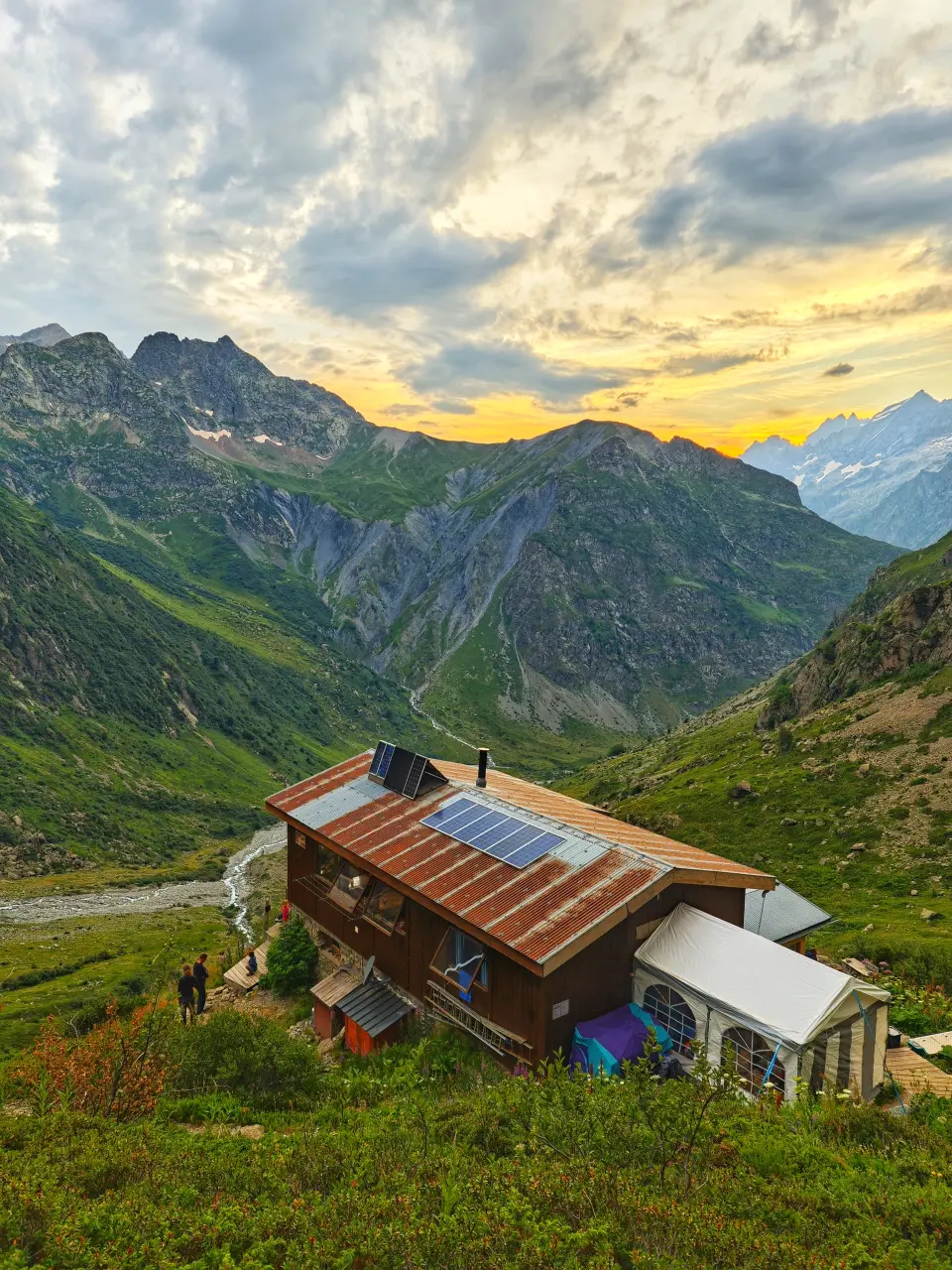 France | Southern Alps
Écrins National Park Traverse
From A$1,007 – 5 daysA 5-day guided trek through the wildest part of the French Alps.
Know more →
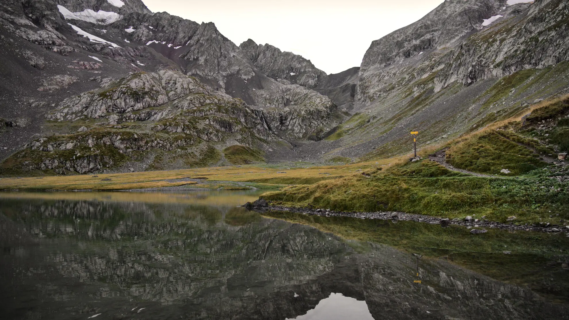 France | Southern Alps
Écrins Tour in 9 Days - Comfort
From A$3,364 – 9 daysThe GR54 stripped down to its highest passes, in 8 walking days, with a twin room and a daypack every evening.
Know more →


Vieux Chaillol is the high point of the tour du Vieux Chaillol as well, the regional long-distance route that circles the massif in 4 to 6 days between the Champsaur and the Valgaudemar. After 24 hours in the air, one summit is a thin reason to come, and this is not the day to do first: give yourself 2 nights in the valley ahead of it. The 9-day Écrins tour crosses this same country on its way round the massif, and a trip built around your own dates and group can take Vieux Chaillol as its big day.
Practical information
Which map covers Vieux Chaillol?
Get hold of the TOP25 3437 OT (Champsaur, Vieux Chaillol), which covers both routes end to end. It is worth ordering before you fly: the French 1:25,000 sheets are easy to find in Gap but not always in the villages, and mobile coverage in the upper valleys is patchy enough that a downloaded map alone is a thin plan. Above the cabane des Parisiens the waymarking thins out and the ground stops handing you landmarks: from there you go on cairns, on the shape of the broad ridge and on the col below you.
When to climb Vieux Chaillol

July to October. Snow lies late on the summit section, and before the start of July the upper slopes want an ice axe and crampons rather than a pair of poles. September is the pick of the 4: still long enough days for the Champoléon circuit, and clearer air for the view.
Vieux Chaillol in winter

The summit itself in winter is caught between committing snowshoe ground, ski touring and winter mountaineering. That season runs December to March here, the middle of the Australian summer. The valleys leading up to the mountain make excellent snowshoeing country, with lower objectives and days cut to the daylight there actually is.


